A Beginner’s Guide to the Surveying Profession
9/27/2022

Without even realizing it, billions of people benefit daily from the work surveyors do. The results of their work often are not obvious to many since we don’t fully understand surveying, so here’s a bird’s eye view of JEO surveyors and what they do.
Surveyors work behind the scenes to accurately collect, process, and map data, ensuring the infrastructure we enjoy and the property we own are in their proper places. JEO caught up with some surveyors to give us a better understanding of what surveying is and the value surveying experts bring to our firms’ projects.
At its foundation, surveying is finding and documenting the physical features of an area, determining property boundaries, and laying out features for construction. For some, surveying is a fact-finding mission, specifically surveying boundaries. Surveyors uncover all the facts they can, whether that be public records or personal testimony from an old farmer or landowner. Once these facts have been assembled, then a surveyor can make a logical determination of property rights.
Boundary work is a big part of what surveyors do. And the key to its success is surveyors being curious and having a desire to find the facts. Surveyors are tasked with understanding exactly where property boundaries lie, requiring them to go to county courthouses to look through existing property records. Usually, a surveyor has to literally dig up the facts—an old section corner or other markers—that may have become buried since original government surveys were done more than a hundred years ago (depending on the location). Once property lines and boundaries are determined, the surveyor can map out the findings, which are used as the basis for most of the infrastructure we see daily.
For engineering projects, surveyors play a vital role in the project from the beginning. A project typically begins with surveyors going into the field and collecting feature location and elevation information about the project site, such as right-of-way boundaries, existing utility and tree locations, topography, and more.
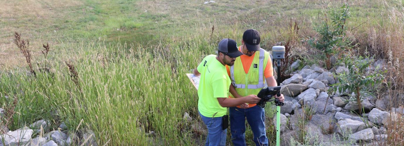
Surveyors use many tools to collect their data. They may implement traditional methods like a GPS and total station (an optical surveying instrument) or utilize a newer approach, such as 3D scanning using LiDAR—a type of remote sensing. Once the data is collected, surveyors import it into specialized technical software, such as AutoCAD or MicroStation, and then create a map or model that provides the basis for the project’s engineering design. When the design is ready for construction, surveyors stake out the project so the contractor knows where to build.
Surveyors must be meticulous in gathering data accurately and effectively. They’re experts who follow methods and procedures to collect data and understand local laws, using industry knowledge and the precedent set by courts and other governing jurisdictions to form their opinions. Anyone can go out to buy a piece of equipment and use it, but they have to interpret the data in a logical way that will stand up in court. Surveyor experience allows them to do just that.
Surveyors enjoy the freedom of working outside. JEO surveyors even have the pleasure of working in or near their communities, so they can explore all that “home” has to offer, sometimes spending their lunch breaks wandering in creeks, hunting for mushrooms, or spotting wildlife. For other surveyors, the world is their playground because surveying happens everywhere—from historical castle sites to Gulf Coast wind farms and Alaskan oil rigs. No matter where they work, surveyors have a more unique “office” than most.
While technology continues to evolve, surveying’s purpose remains the same—to ensure everything is appropriately located, so we can all enjoy the world in which we live.
You can learn more about surveying through several resources:
