Geospatial Services
Borders, boundaries, and property rights significantly impact your livelihood, so you need them established correctly. Our surveyors are experts in the field, accurately getting you the information you need.
Defining Boundaries Since 1937

Experience
After more than 87 years on the job, we complete cost effective and thorough surveys, always tailored to meet your needs.

Resources
JEO has one of the largest surveying firms in the Midwest. We’ve got the resources for the timely and accurate completion of top-quality surveys.

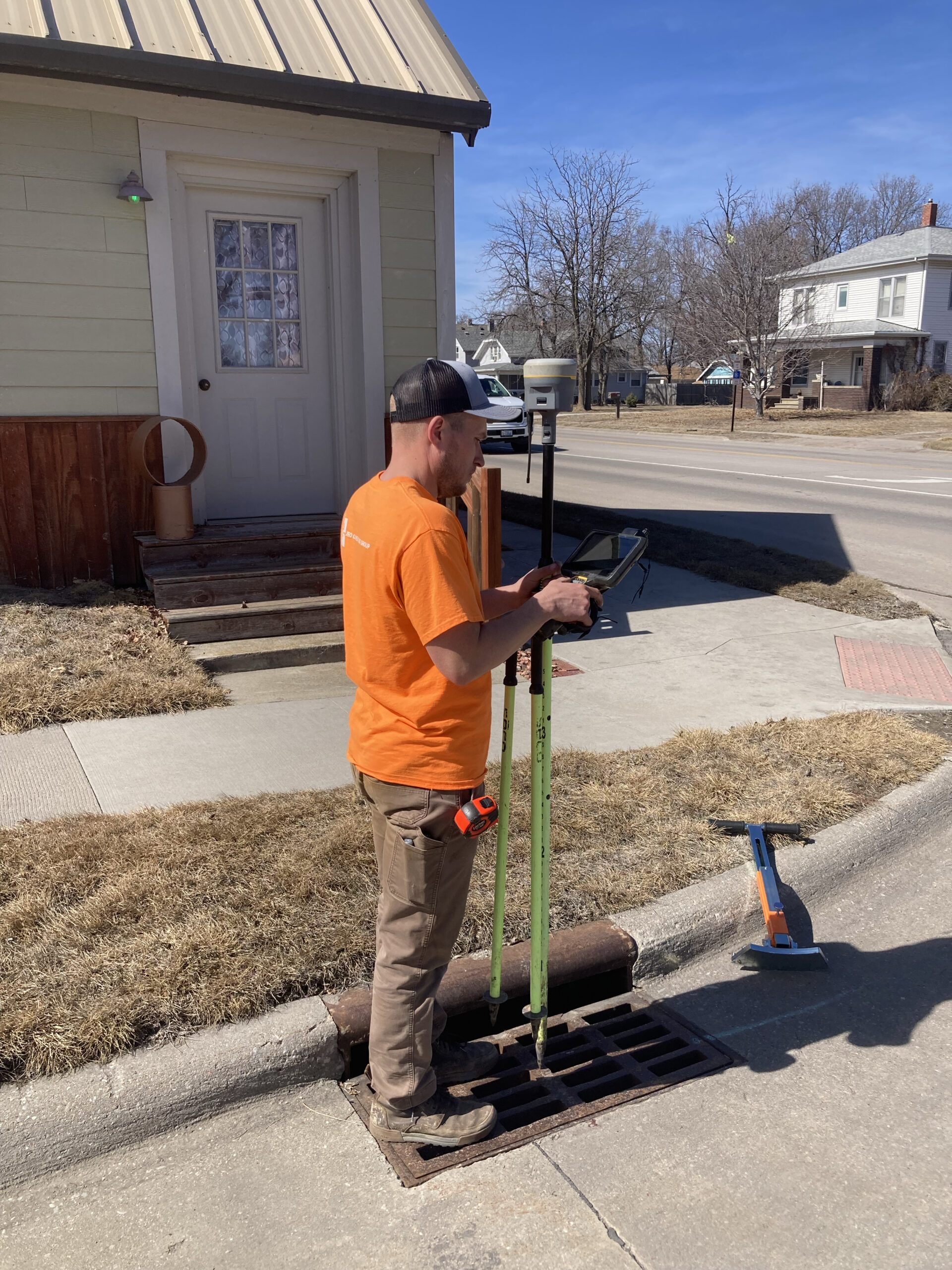
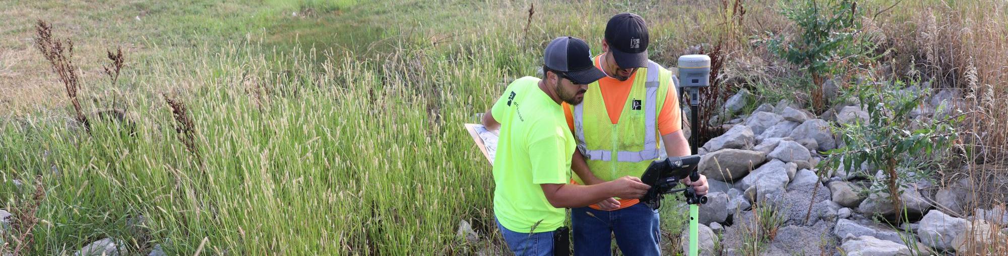
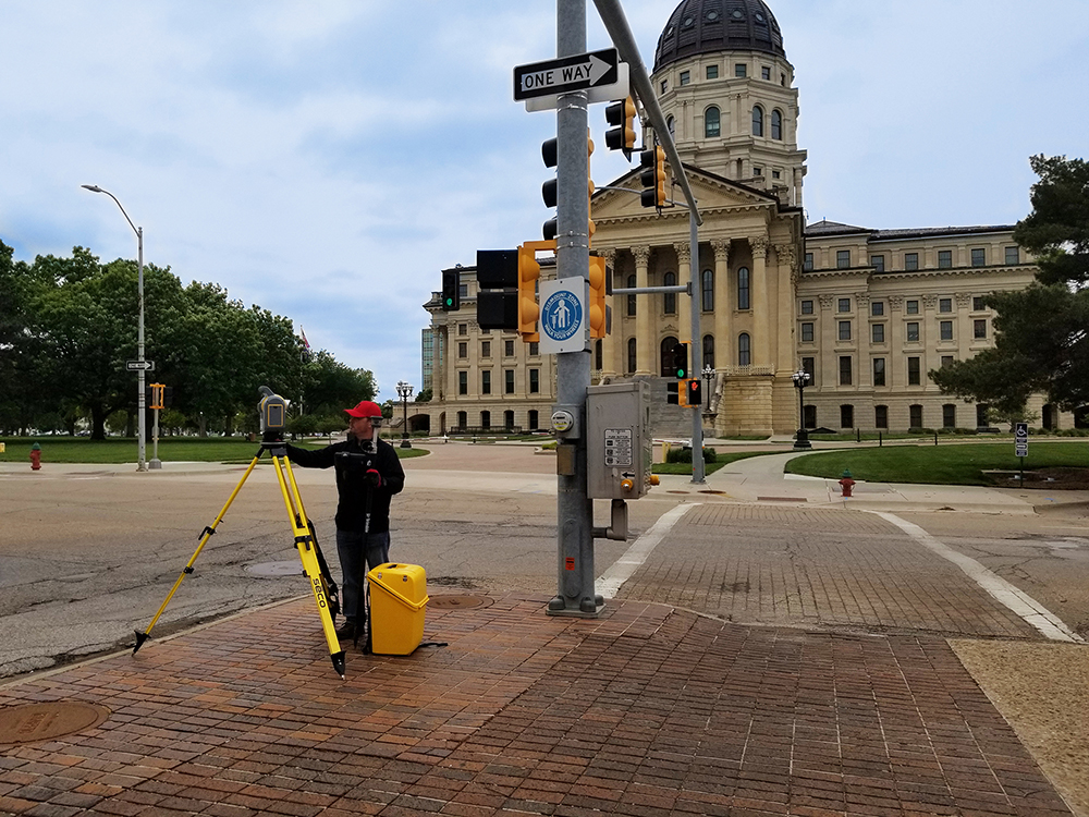
Technology
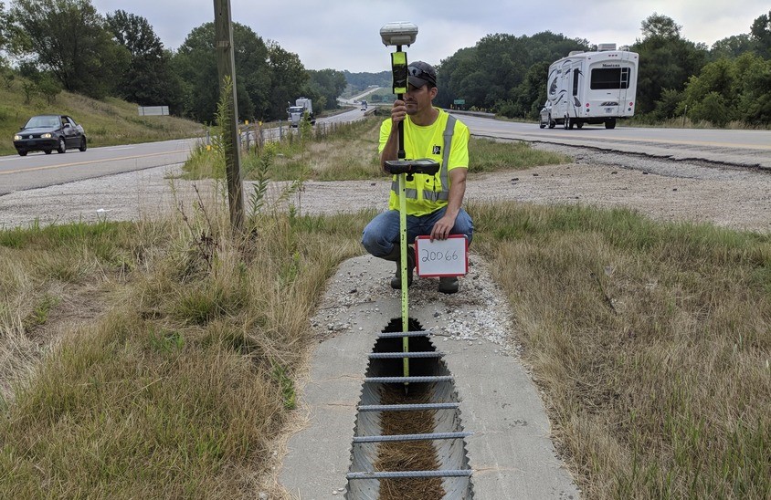
We stay at the forefront of the industry through the latest technology in GPS, robotics, 3D scanning, and top-of-the-line software.

Responsiveness
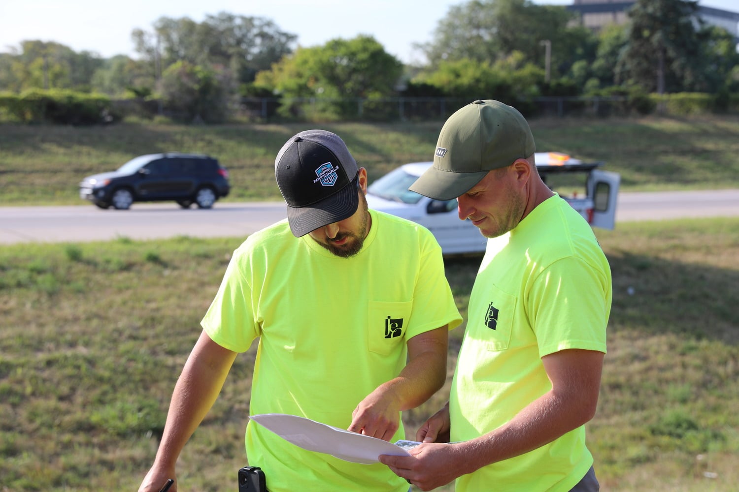
Communication is critical to project success. With numerous office locations and employees across the region, we can address your questions, keep you informed, and meet your expectations.
areas of expertise
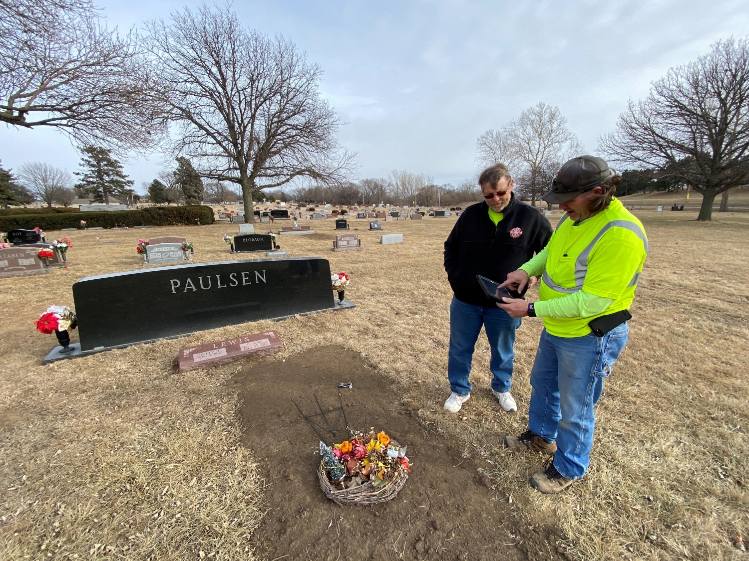
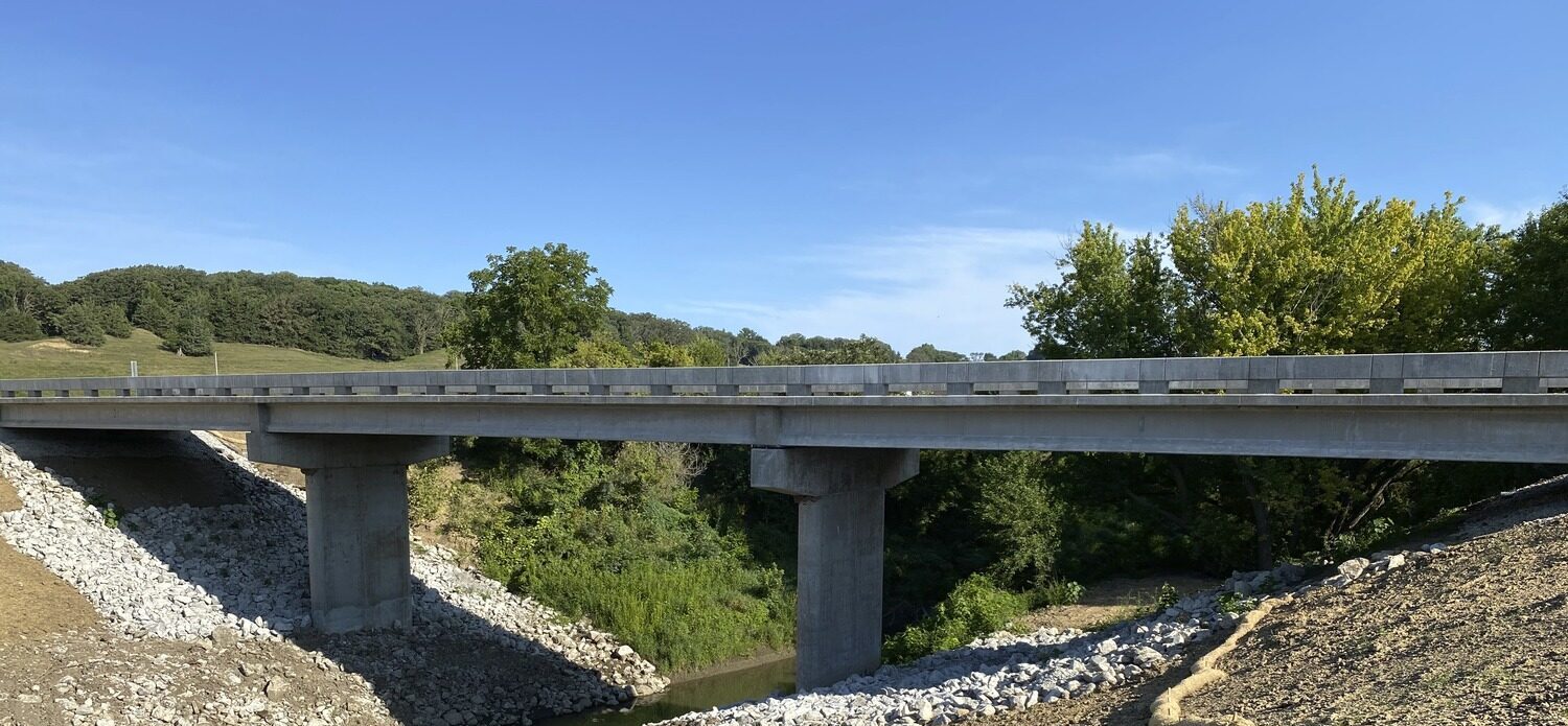
Land surveys
- Boundary Surveys
- ALTA
- Acreages
- Lot Surveys
- Subdivision Platting
- Riparian
- Easement
- County Surveys
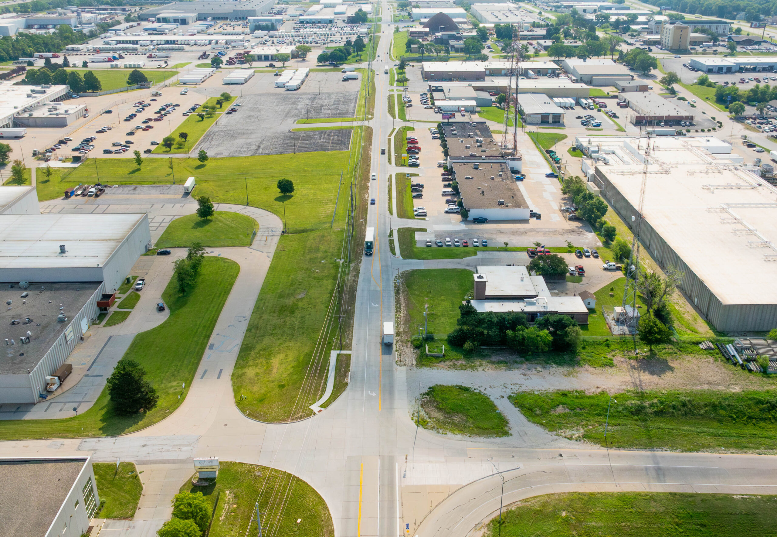
Utility surveys
- Gas
- Water
- Electrical
- Sewer
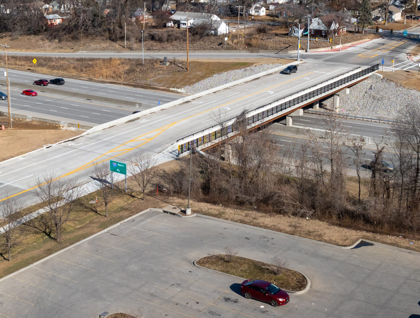
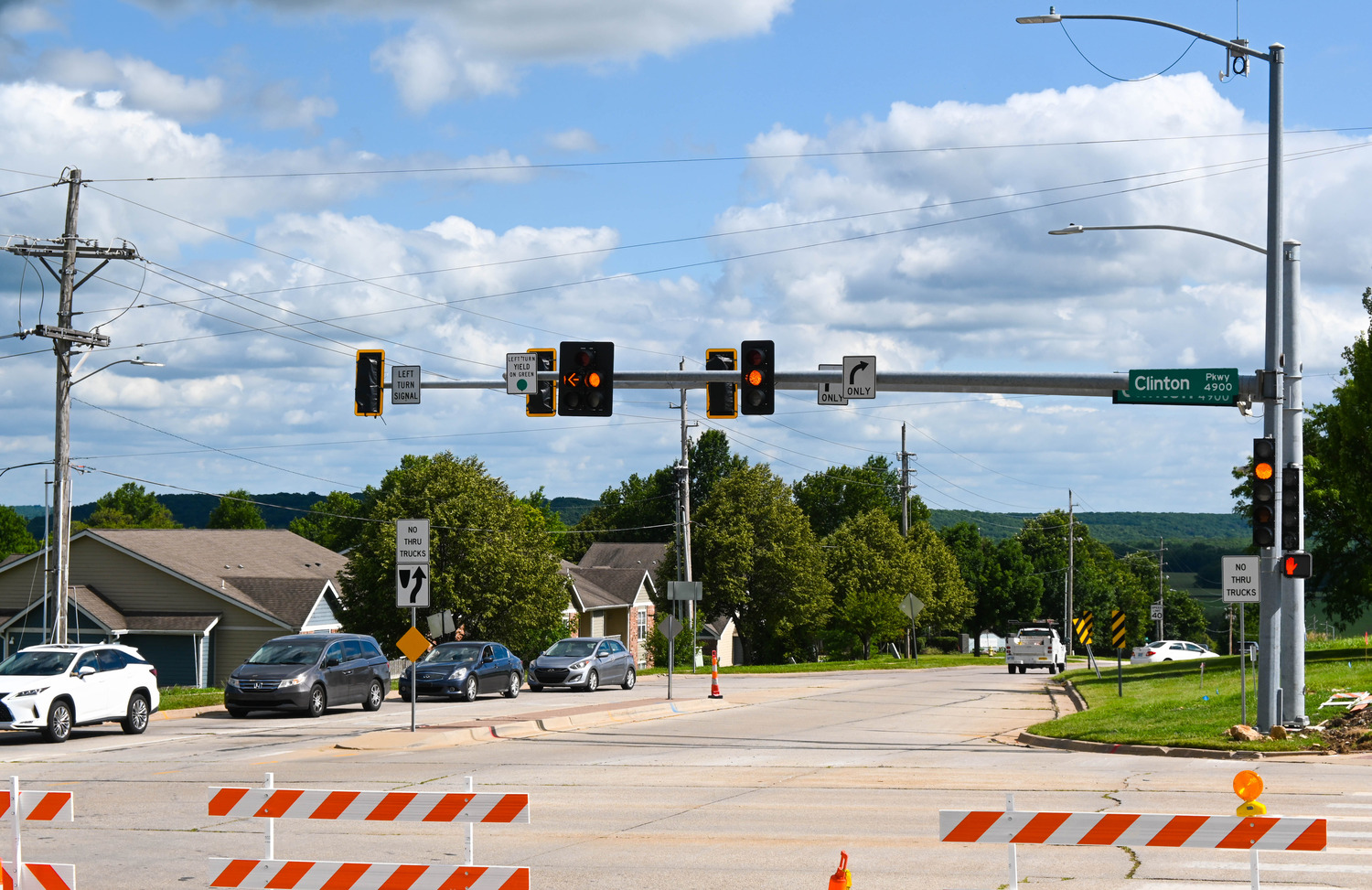
Right-of-Way Staking
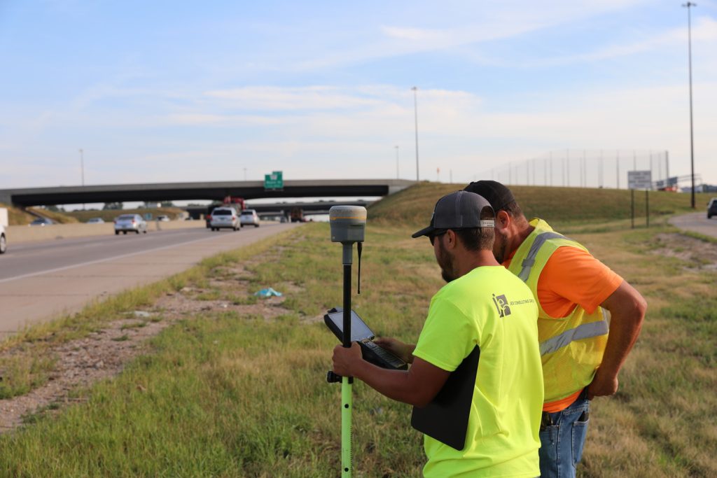
- Route Surveying
- Highways
- Urban
- Railroad
- Utility
FEMA
- LOMA
- Elevation Certificates
Other Surveying Services
- Topographic Surveys
- GIS Data Collection
- Construction Staking
- Mobile, Aerial, Static LiDAR
- Bathymetric