Project description
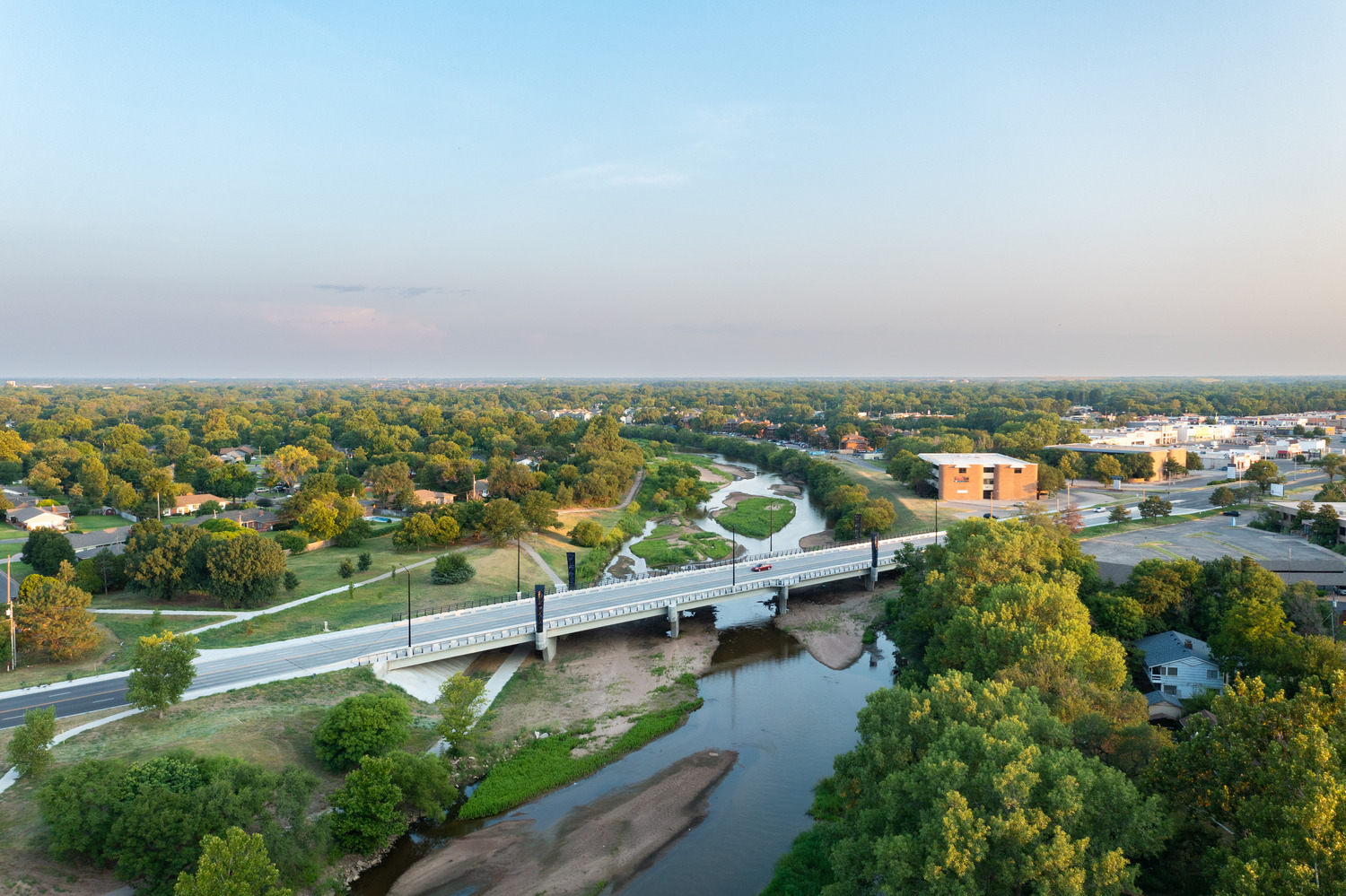
JEO’s Surveying department collected topographic data to support engineering design upgrades along Wakarusa Drive in Lawrence, Kansas.
The Challenge:
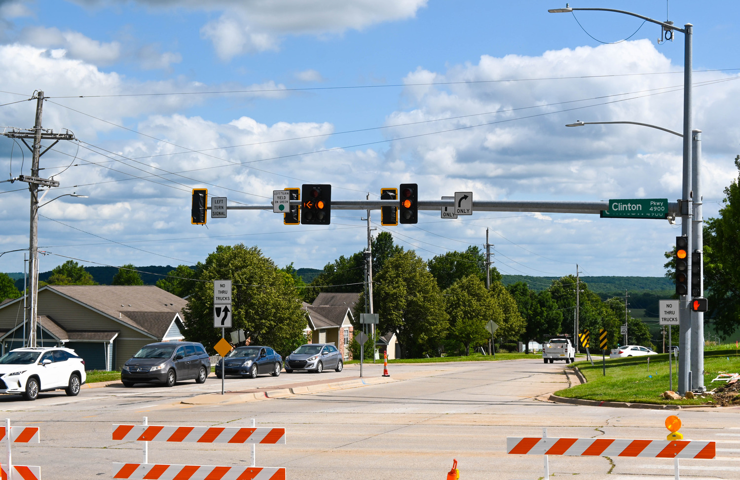
Wakarusa Drive is a highly trafficked corridor in Lawrence. Over the years, traffic volumes have grown and the asphalt pavement has deteriorated, so the city wants a complete upgrade, hiring JEO to design the improvements. Components to the project include concrete pavement, pedestrian accommodation, traffic calming, a roundabout, new storm sewer, and select water main replacement. Before design work could begin, though, JEO needed to complete a survey of the project area, facing the challenges of crew safety, traffic-flow maintenance, and accurately collecting utility data since it wasn’t consistently apparent where utilities were located.
The Solution:
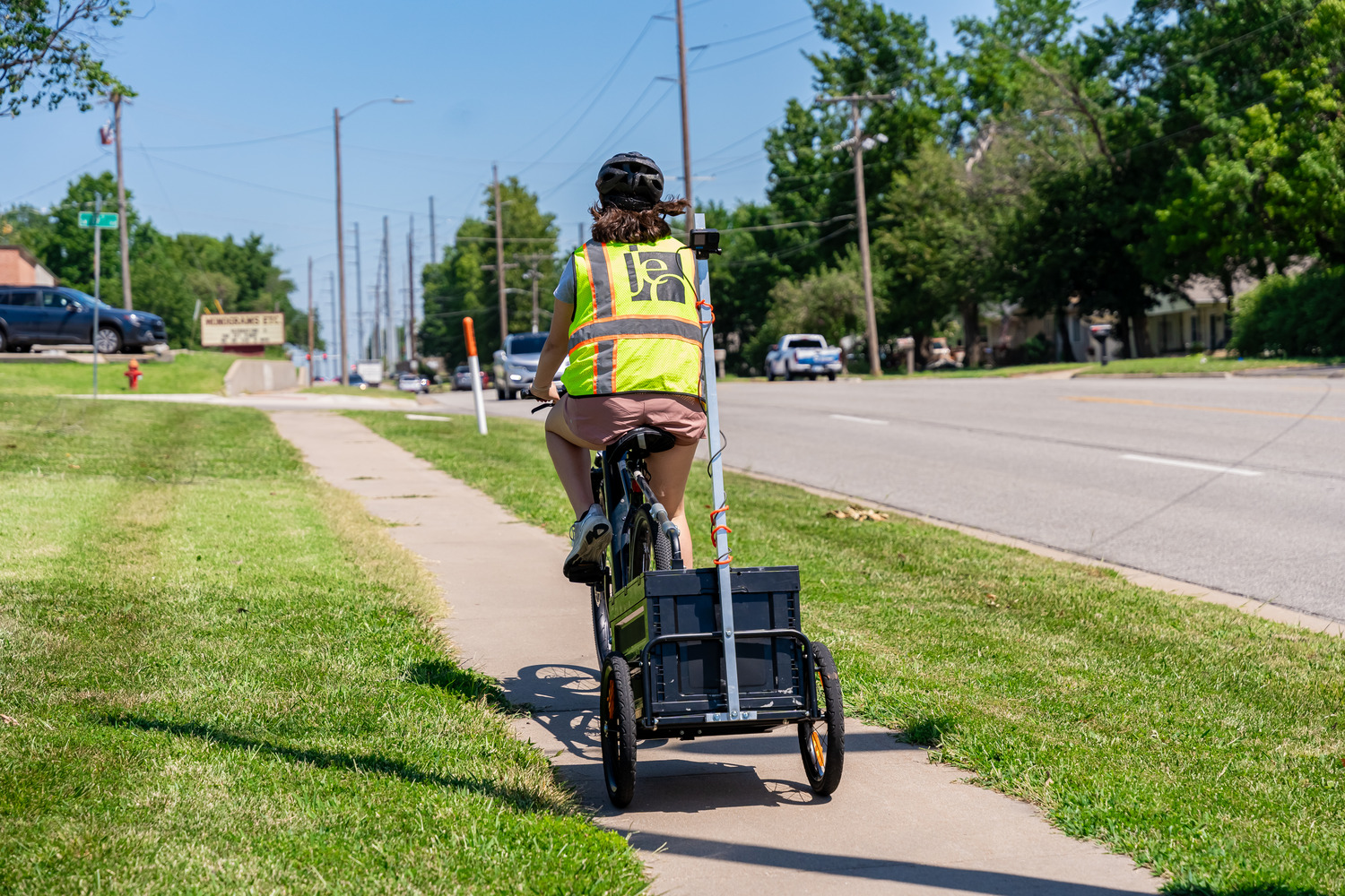
JEO’s Surveying team began their work by using Mobile LiDAR scanning. That allowed them to collect a huge amount of data along the project corridor quickly and with minimal impact on traffic flow. Additionally, traditional survey methods were used to collect utility data—both above and below ground—as well as additional boundary lines and right-of-way data.
Project Benefits:
By combining Mobile LiDAR scanning and traditional survey methods, JEO’s Surveying team was able to safely and accurately collect the data needed for engineering design.
