GIS
We work with clients to implement mobile-ready, cloud-hosted geographic information system (GIS) solutions.

Providing More with GIS
Mobile Experts
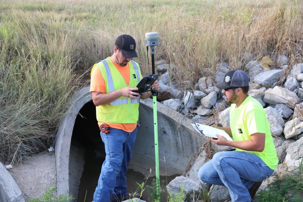
Our cloud-hosted mobile apps perform intuitively in the field, enabling you to collect data that will provide an immediate ROI.
Esri-Supported Apps
Every app we launch is fully supported by Esri. This means you have access to its community maps program, thriving online community, and support team.
No Long-Term Contracts
Your data is yours. We will never lock you into long contracts.
Our Services
GIS Deployments and Solutions

- ArcGIS Online
- Portal and ArcGIS Server
- GIS Web Services
- Data Backup and Recovery
- Imagery, Base Maps, Community Maps, and Living Atlas
- Data Enrichment
- 811 Ticket Management
- Private and Public-Facing Apps
Desktop GIS Solutions

- ArcGIS Pro and ArcMap
- Mapping
- Data Models
- Records Digitizing and Transformation
- Custom Tasks
Mobile GIS Solutions

- Mobile-Friendly Mapping (iOS and Android)
- Esri Apps, including Collector for ArcGIS, ArcGIS Field Maps, Survey 123, ArcGIS Workforce, and Explorer
- Mobile-Friendly Mapping and Records Management (iOS and Android)
Field Data Collection Solutions

- Inventory and Inspect Assets
- Bring-Your-Own Device (BYOD)
- Professional Surveys
- Plat and Gravestone Surveying

