project description
The Challenge:
Fuller, Mossbarger, Scott and May Engineers, Inc. (FMSM) needed a subconsultant to conduct field surveys of streams and hydraulic structures like bridges and culverts across Gage, Dawson, and Buffalo counties to meet FEMA guidelines for a project. As specified in FEMA’s Guidelines and Specifications for Flood Hazard Mapping Partners, detailed survey analysis had to be completed before FMSM could begin their project, necessitating a professional survey crew to get the job done right.
The Solution:
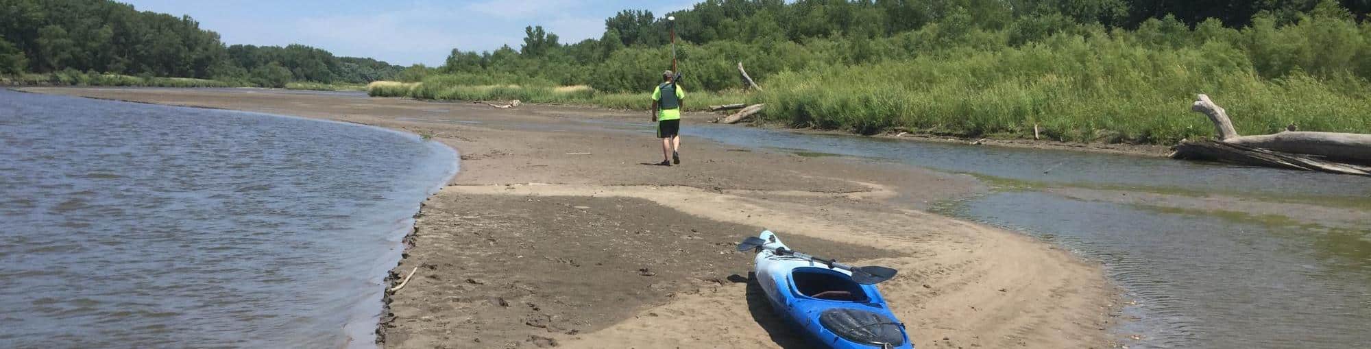
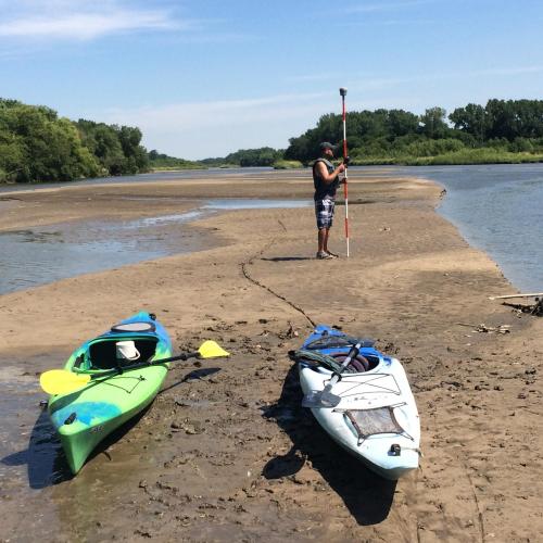
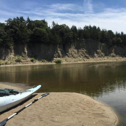
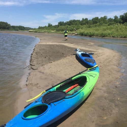
With four survey crew chiefs and four survey technicians, our surveyors used Sokkia Set 3BII Electronic Total Stations and Trimble R8 GNSS receivers to accurately and efficiently survey the streams and structures. The cross sections varied in length from approximately 500 feet to 6,000 feet each, and there were approximately 200 cross sections that covered about 22 miles of river length.
Project Benefits:
Our Survey crew worked rigorously to conduct accurate and detailed field surveys for FMSM. When meeting FEMA requirements, a thorough attention to detail is paramount. And with our team, all survey data collected met National Map Accuracy Standards (NMAS) and all data was collected in State Plane Grid Coordinates and delivered electronically as ESRI GIS shapefiles. This allowed FMSM and FEMA to easily access the requested data, facilitating a smooth transition of critical information.