5/2/2025
Seeing projects differently: How JEO’s LiDAR team is changing the game
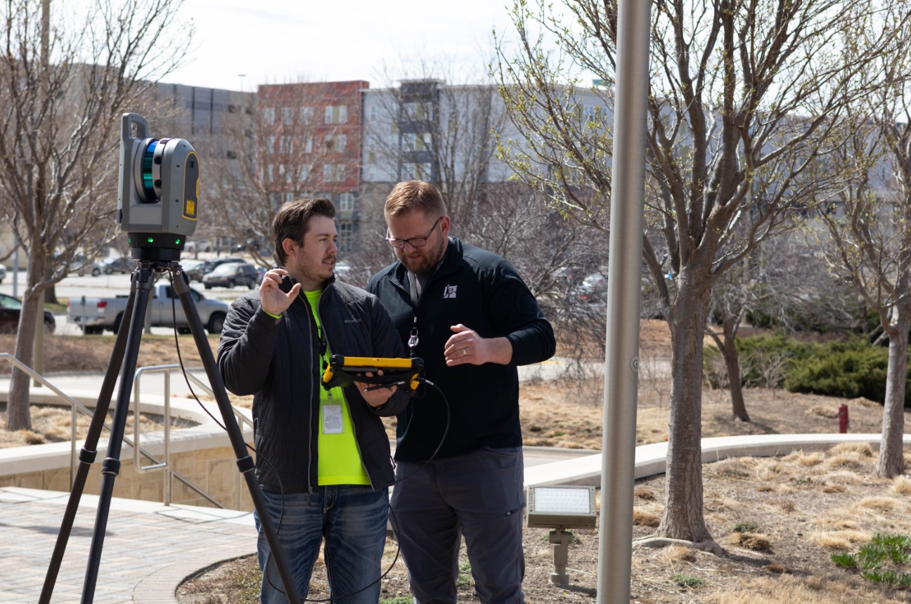
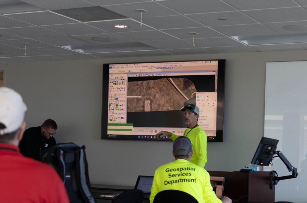
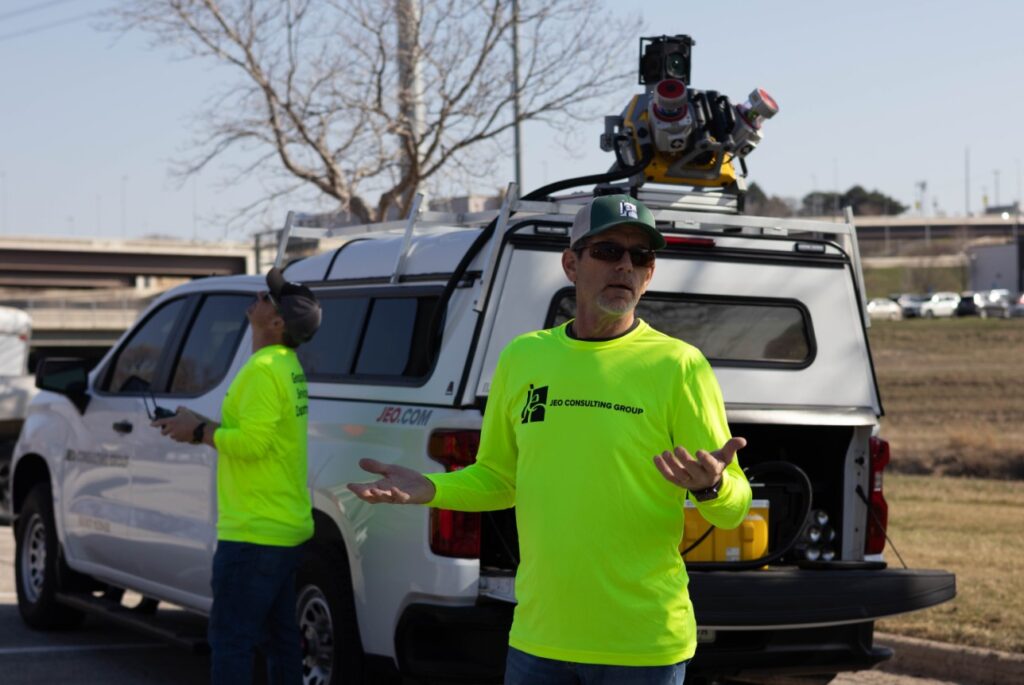
JEO’s LiDAR (Light Detection and Ranging) team recently held open houses in the Lincoln, Omaha, and Wahoo offices to spark conversations with employees about how their work can support projects across the company. They did this through equipment and software demonstrations and by answering employees’ questions.
“We wanted to showcase JEO’s technology and emphasize the investment the company has in the Geospatial Department,” said Shawn Graves, LiDAR team leader and survey project manager.
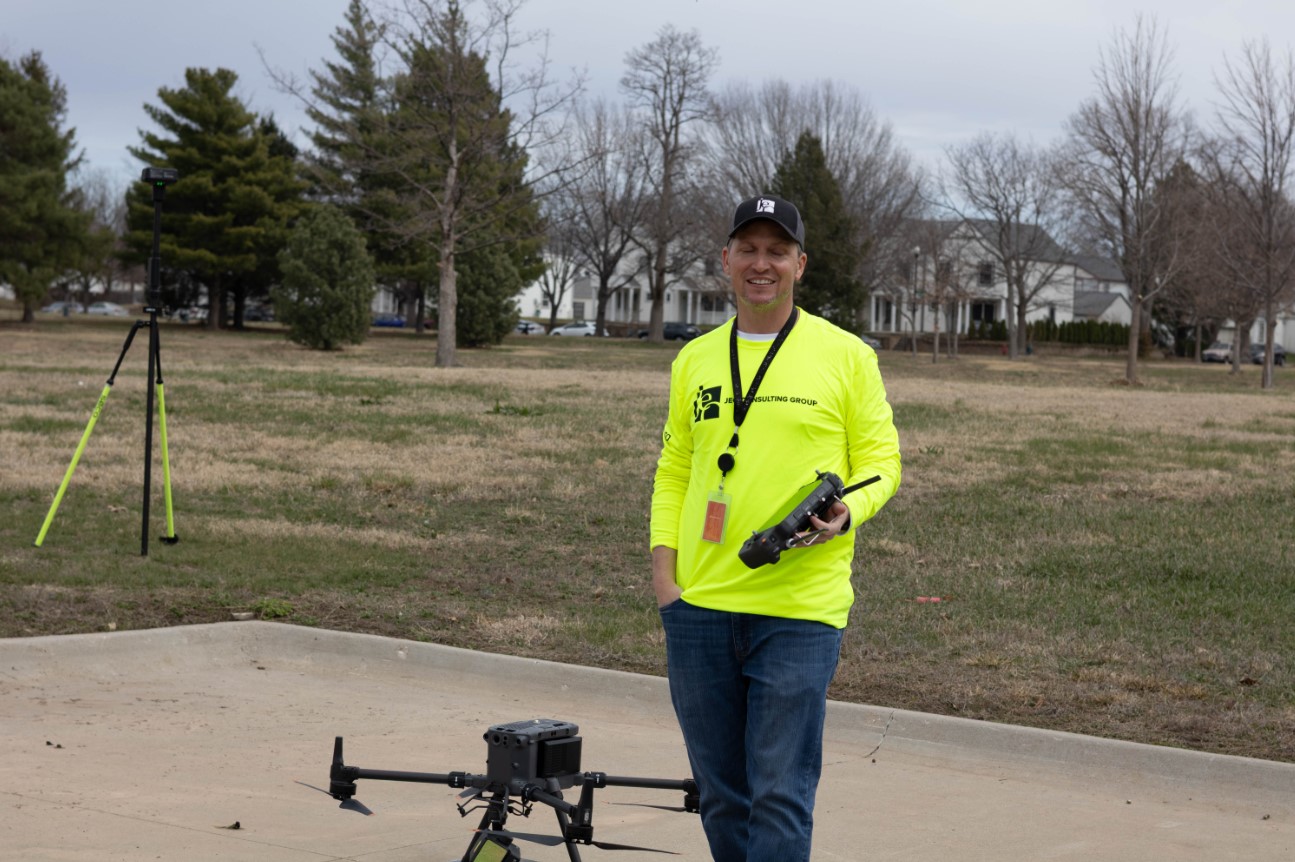
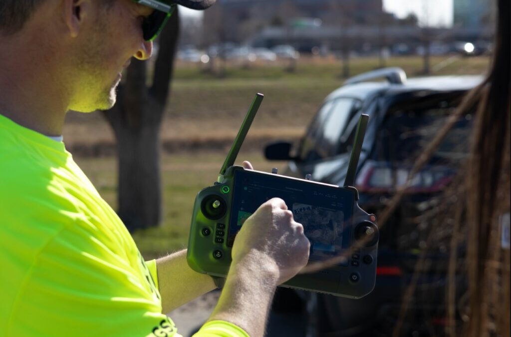
The LiDAR team plays a crucial role in supporting field crews by handling both data collection and analysis. Using a range of LiDAR sensors and cameras, they gather detailed topographic information such as elevation, slope, and land surface features.
LiDAR in action
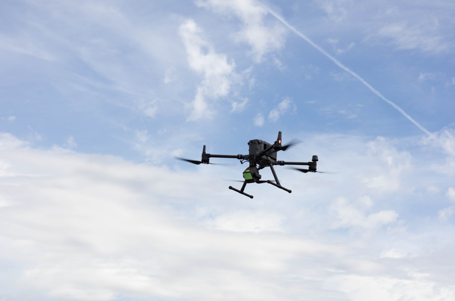
In one recent project, a client needed detailed topographic data for a large property that included a mix of agricultural fields and heavily wooded terrain. It was the middle of summer—not exactly ideal conditions for traditional surveying methods—but time was of the essence.
JEO’s LiDAR team was able to use drone-based LiDAR to collect data. This approach dramatically reduced turnaround time and minimized disruptions to the site, which is especially important when dealing with crops or sensitive areas. The results were accurate and high-resolution data was delivered on schedule without compromising the quality.
Looking ahead
Our LiDAR team continues to push boundaries, working alongside clients to explore new opportunities. Whether you’re tackling a challenging site, tight timeline, or just looking to explore new ways to streamline your projects, JEO’s LiDAR services offer the tools and expertise to get you there faster.