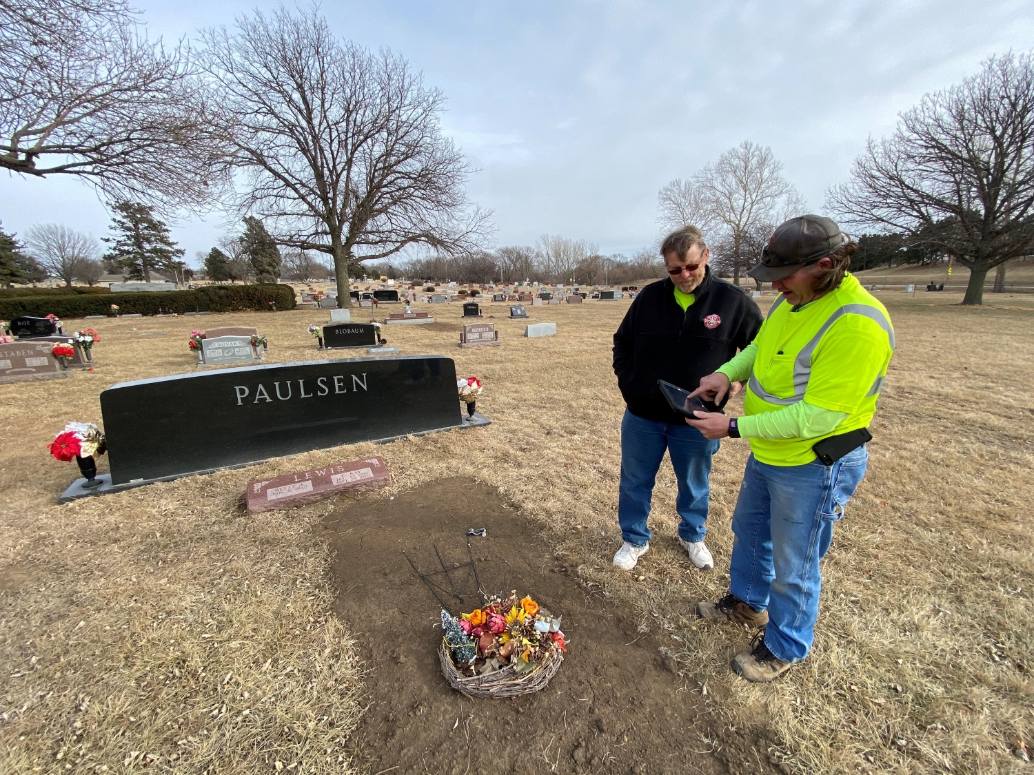
Blair, NE – Cemetery GIS
Project description
The city was maintaining their cemetery maps and data in hard-copy form and duplicating information in an aging non-spatial database. JEO’s GIS team helped migrate all information into one platform, streamlining the process.
The Challenge:
The City of Blair, Nebraska, maintains a large cemetery with around 20,000 burial plots. It’s been around for a long time and in the 1980s the city contracted with a local group to develop a custom database to manage all their cemetery records. This in-house database served them well for a while, but the firm that originally created it was no longer around to support the system. In addition to the database, the city also used a series of physical maps, replat maps from 1992 mounted on foam-core boards, along with magic markers to delineate spaces. This disconnected process worked for a while, but the city knew it could be improved. They hired JEO’s GIS group to help create a digital map where all information from the database and physical maps could be stored, shown, and shared.
The Solution:
JEO created a spatially accurate map of the entire cemetery and connected the existing legacy records to the map via a cloud-based geographic information system (GIS), ArcGIS Online. Now, the cemetery workers can view, analyze, collect, edit, and maintain cemetery data through desktop and mobile software GIS applications, with zero duplication of data.
The Benefits:
The resulting map with at-your-fingertip access allows staff to search, view, and update cemetery records via a web browser or mobile device, saving valuable time and eliminating the need for paper records or vast institutional knowledge. Cemetery data can be accessed and updated while walking around the actual grounds. Visitors to the city’s website or cemetery office can open the map to search and view records and look for an available plot to purchase. You can view the map here.
What Our Clients Say
The City of Blair recently worked with Mike Frates/JEO to overlay our cemetery map into our GIS system. He and his team have developed a mapping system for internal use as well as public use that will not only allow the public to easily access our cemetery database in a very user-friendly manner, but they have also cut down the amount of staff time required to update cemetery records and allowed our staff to work in a more efficient manner. The cemetery system that Mike’s team developed has gone beyond the expectations we originally set and filled a void that has existed for many years in the city by creating a system that makes cemetery records accessible to anyone via our website. We have enjoyed working with Mike and look forward to working on other projects with Mike and the JEO team to expand our GIS system.
Brenda Wheeler, City Clerk Cemetery Records Manager
Blair, NE
Additional Projects

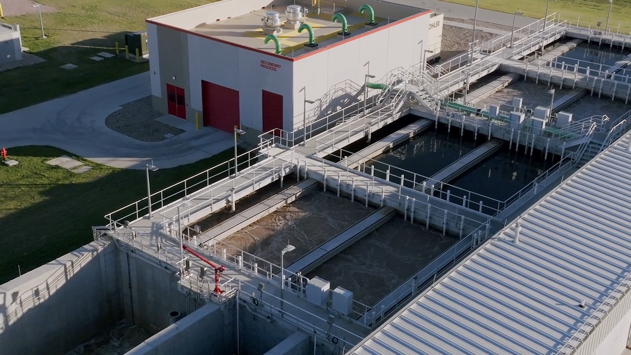
South Sioux City Wastewater Treatment Facility
South Sioux City, NE

UNMC Munroe-Meyer Institute
Omaha, NE
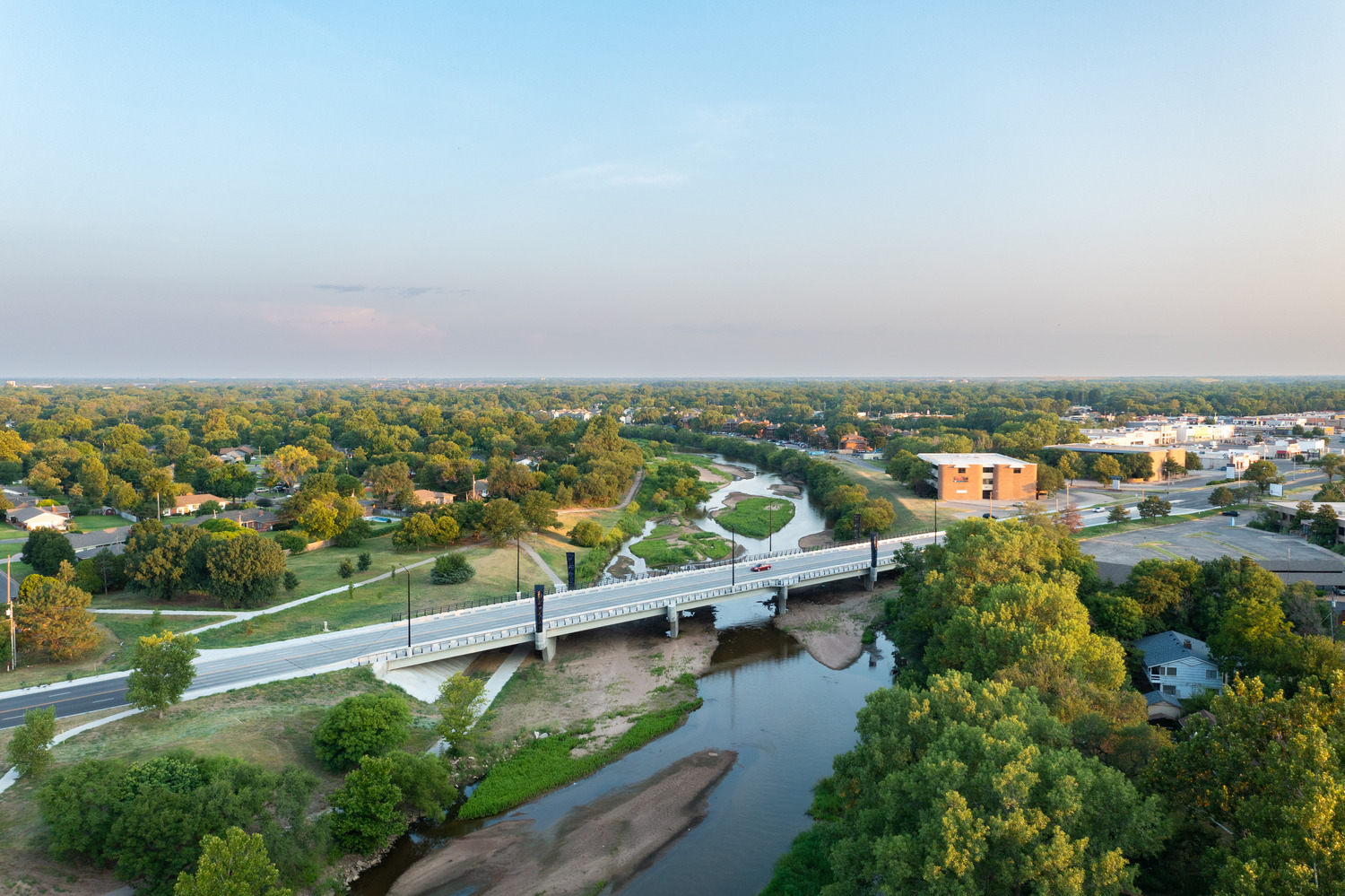
Amidon Avenue Bridge Reconstruction
Wichita, KS